
Project
Abuklea Street Redevelopment
3D Spatial Solutions
Project overview
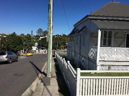
The team employed terrestrial laser scanning to record a comprehensive coloured point cloud of three existing heritage Queenslander homes along with adjacent railway infrastructure. A full site model was developed in Revit to support the architectural design process. Key advantages of this survey-based approach include cost savings, elimination of access requirements to Queensland Rail property, reduced design complications, fewer site visits needed, and fewer information requests from contractors and council reviewers.
Services provided
- UAV
- Laser Scanning
- BIM Modelling
Contact Us