
Project
Centenary Highway Site — UAV LiDAR Survey
3D Spatial Solutions
Project overview
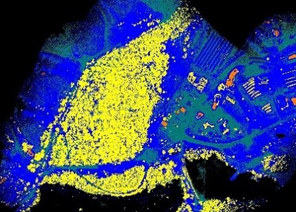
WMI contracted Jensen Bowers to undertake the planning and surveying for the transformation of this industrial site including special Industry facilities. The engagement was structured in phases, with survey work completed as each section progressed. The firm employed a lower-level aerial (UAV) LiDAR (70m) to generate a full colour point cloud of a large site and its surrounding areas. Ground surveys verified the accuracy and vegetation penetration capabilities of the data, producing a three-dimensional terrain model for engineering design purposes. This approach enabled the delivery timeline to accelerate while reducing costs passed to the developer.
Services provided
- Detail Survey
- Cadastral Surveys
- UAV LiDAR
- Due Diligence Advice
- Urban Design
Contact Us