
Project
Gold Coast Hinterland | 3D High Definition Scanning
Springbrook Road, Gold Coast Hinterland
3D Spatial Solutions
Project overview
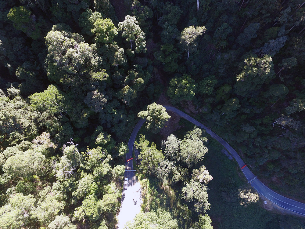
Following ex-Cyclone Debbie in March 2017, the Gold Coast Hinterland received 787mm of rain over a 48-hour period, causing multiple landslips that closed Springbrook Road. Jensen Bowers was engaged to scan 25 landslips across approximately 8 kilometres using a Leica P30 scanner to generate colour 3D Point Cloud data. This information enables engineers to assess geotechnical risks, evaluate failure mechanisms and design remedial solutions for this +$25 million project, restoring community access to the Gold Coast CBD.
Services provided
- Detail Survey and Detail Survey Plan
- Survey Control
- Boundary Identification Survey
- 3D High Definition Scanning
- 3D Point Cloud
- Meshing
Contact Us