
Safe, fast and accurate
Supports clearer project decisions and more efficient delivery.
UAV Surveys & Applications
UAV capture helps collect photography, mapping and survey data efficiently, including sites that are difficult or unsafe to access directly.
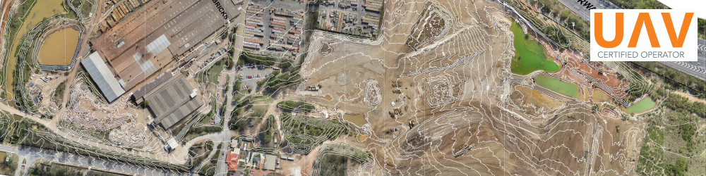
Service examples
The following service examples are taken from the original Jensen Bowers service information.
Benefits
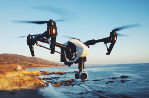
The value is clearer field data, safer capture and project information that can be used by the wider team.
Supports clearer project decisions and more efficient delivery.
Supports clearer project decisions and more efficient delivery.
Supports clearer project decisions and more efficient delivery.
Supports clearer project decisions and more efficient delivery.
Supports clearer project decisions and more efficient delivery.
Project clarity
Tell the team what you need captured, verified or advised.